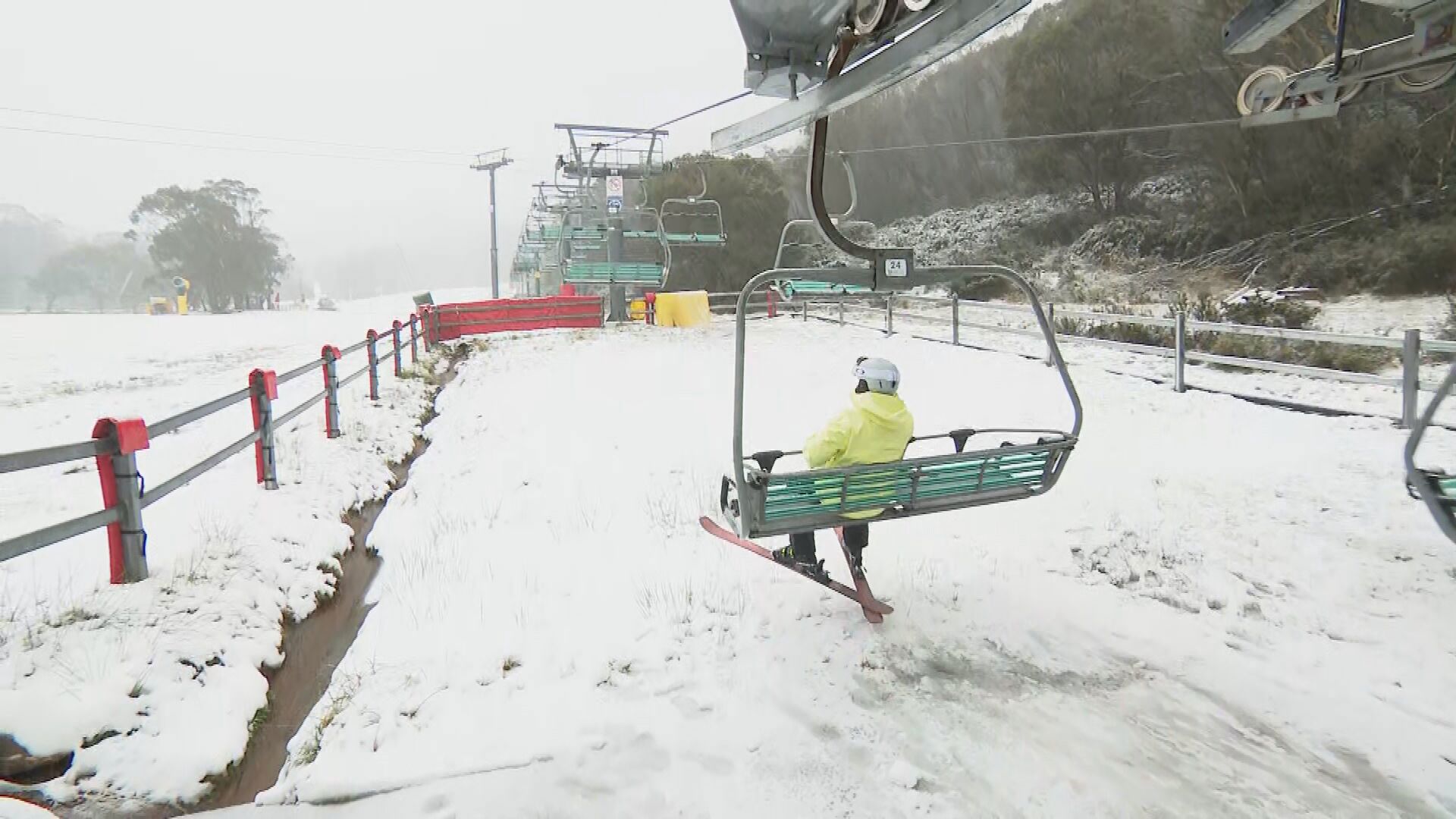
Polar blast expected to bring heavy snow to alpine regions
Australia's south-east will shiver through chilly conditions for the rest of the June long weekend as a cold snap moves through multiple states.
Bureau of Meteorology senior meteorologist Dean Narramore said temperatures would remain icy in several parts of the country until Tuesday.
"Adelaide, Melbourne, Hobart and Canberra are looking at cold, wet and windy weather over the next few days," Narramore said.
READ MORE: Volunteers truck in relief for drought-stricken farmers
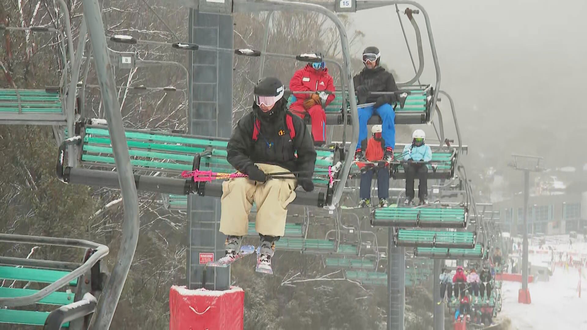
As a polar blast moves through, heavy snow is expected in alpine areas in Victoria and New South Wales including Mount Buller, Falls Creek, Hotham, Thredbo and Perisher.
"We could see 40cm to 60cm of snow over the next three days," Narramore said.
"Many other areas are looking at 20 to 40mm across south-eastern parts of the country, with lots of showers, rain, hail and very cold temperatures."
READ MORE: Missing Queensland tourists found dead in Tasmania, police confirmed
Narramore said along the east coast and northern Australia residents will see temperatures "near average or slightly below in the coming days".
"Lots of sunshine there and staying dry," he said.
"The warmth in the short term will be hanging out through western parts of the country, but that might get to eastern and south-eastern parts by about at this time next week."
A warmer-than-average winter has been forecast for winter.
According to the Bureau of Meteorology's official winter forecast, every state and territory in Australia is either likely or very likely to have above-average temperatures for the next three months
DOWNLOAD THE 9NEWS APP: Stay across all the latest in breaking news, sport, politics and the weather via our news app and get notifications sent straight to your smartphone. Available on the Apple App Store and Google Play.